Exploring Geography Through Hands-On Mapping Activities
8 December 2025
Geography isn't just about memorizing countries and capitals—it's about understanding the world and how different places connect. But let's be real: staring at a flat map in a textbook isn't exactly thrilling.
So, how do we make geography fun and engaging? Simple: hands-on mapping activities! When students create maps rather than just looking at them, they absorb information faster. Whether it's sketching a neighborhood or building a 3D terrain model, mapping activities turn abstract concepts into something tangible and meaningful.
Let’s dive into some creative ways to bring geography to life through hands-on mapping! 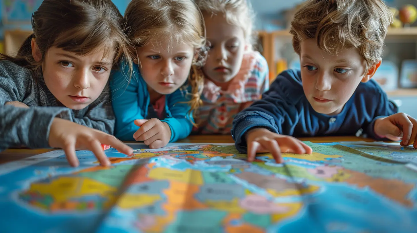
Why Hands-On Mapping Works
1. Boosts Engagement and Retention
Ever notice how you remember things better when you physically engage with them? That’s why hands-on activities work. When students draw, build, or even walk through their mapping exercises, they’re actively processing the information.2. Develops Spatial Awareness
Understanding geography isn’t just about knowing where things are—it’s also about understanding how places relate to each other. Mapping activities help students grasp spatial relationships, distances, and geographic patterns in a way that textbooks can’t.3. Encourages Critical Thinking
Mapping isn’t just about placing dots on paper. It involves analyzing information, making decisions, and problem-solving. Whether it’s figuring out the best route between two points or determining the impact of geography on human settlements, these activities strengthen critical thinking skills.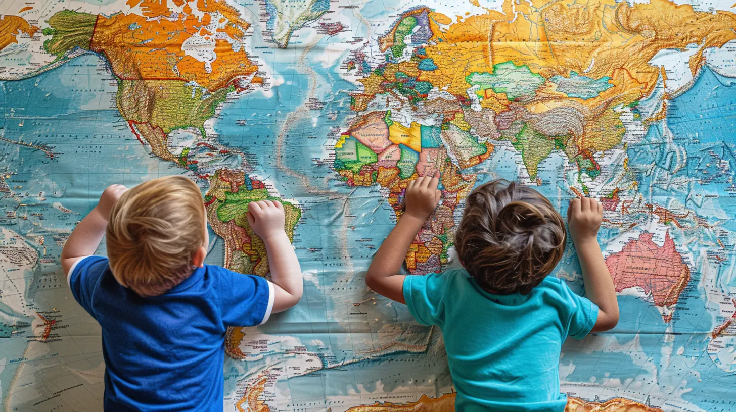
Fun and Interactive Hands-On Mapping Activities
Now that we know why hands-on mapping is important, let’s look at some awesome activities that make learning geography exciting!1. Personalized Mental Maps
Before diving into detailed maps, start with something simple: a personal mental map.How it works:
- Ask students to draw a map of their neighborhood, school, or even their route to a favorite place.
- The goal isn’t accuracy—it’s about perspective. How they see the world matters more than getting every street name correct.
Why it’s great:
- Helps students understand that maps are representations, not exact copies.
- Encourages them to think about landmarks and spatial relationships in their daily lives.
2. DIY Topographic Models
Flat maps are useful, but real-world geography is full of mountains, valleys, and plains. A 3D model brings these features to life!How it works:
- Use playdough, clay, or even paper mâché to create a miniature version of a region.
- Add labels for mountains, rivers, and cities.
- For extra fun, paint it to mimic real landscapes!
Why it’s great:
- Teaches elevation and terrain in a hands-on way.
- Helps students understand how geography affects climate, transportation, and human settlements.
3. Treasure Hunt with Coordinates
What’s more exciting than a treasure hunt? A treasure hunt with real-world coordinates!How it works:
- Hide items around the classroom or schoolyard.
- Give students latitude and longitude coordinates instead of written directions.
- Have them use a map or GPS app to find the hidden “treasure.”
Why it’s great:
- Makes learning about coordinates practical and interactive.
- Strengthens navigation skills in a fun way.
4. Mapping Historical Events
History and geography go hand in hand—so why not mix them?How it works:
- Choose a historical event (like World War II or the Silk Road trade routes).
- Have students map out important locations, trade routes, or battles.
- Encourage them to consider how geography influenced historical events.
Why it’s great:
- Helps students see geography as an active force in history.
- Encourages deeper thinking about why places and events matter.
5. Create a Fantasy World Map
Let students unleash their creativity while applying real-world mapping skills!How it works:
- Have students design their own country or continent.
- They should include mountains, rivers, cities, and other key features.
- Encourage them to think about how geography shapes civilizations (e.g., Where would people settle? What natural resources would be important?)
Why it’s great:
- Blends creativity with critical thinking.
- Reinforces geographic concepts in a fun, imaginative way.
6. Satellite Image Investigation
Why not use technology to enhance geography learning? Google Earth and satellite images offer a real-world perspective.How it works:
- Assign students a location to explore using Google Earth.
- Have them analyze physical geography, urban development, or natural landmarks.
- Challenge them to compare satellite images from different time periods to track changes.
Why it’s great:
- Helps students see geography in action.
- Encourages discussions about environmental changes, urban growth, and natural disasters.
7. Map Puzzles and Matching Games
Sometimes, the simplest activities are the most effective—and who doesn’t love a good puzzle?How it works:
- Print out a large map, cut it into puzzle pieces, and mix them up.
- Challenge students to put it back together.
- Add extra fun by timing the activity and making it a competition.
Why it’s great:
- Reinforces knowledge of locations in a hands-on way.
- Strengthens problem-solving and teamwork skills. 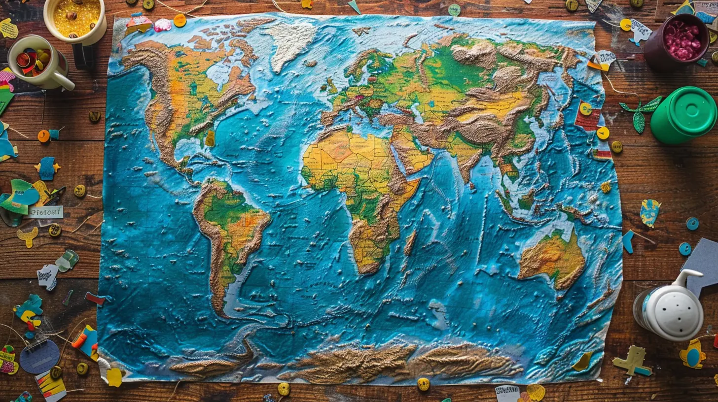
Tips for Making Mapping Activities More Effective
✨ Use Real-World Connections
Instead of just studying a map, have students relate it to current events or real-life experiences. For example, analyzing the impact of natural disasters like hurricanes or wildfires makes geography more relevant.🎨 Encourage Creativity
Not all maps have to be strictly factual—sometimes, blending imagination with learning (like in fantasy world maps) makes the process even more fun.🚀 Incorporate Technology
Google Maps, GPS apps, and virtual tours can bring maps to life and make learning more interactive.🌍 Make It Collaborative
Group activities make learning more enjoyable and encourage teamwork. Assign students different roles when working on mapping projects to foster cooperation.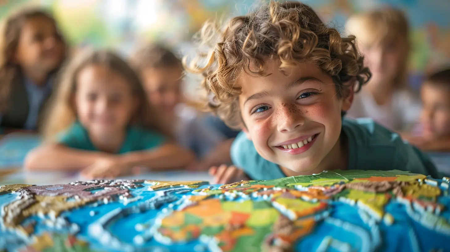
Conclusion
Hands-on mapping activities are a powerful way to experience geography rather than just study it. Whether creating personal maps, going on a GPS treasure hunt, or building a 3D landscape, these activities make geography engaging, relevant, and—most importantly—fun.So, next time you think maps are just a bunch of lines on paper, remember: they’re actually a gateway to understanding our world in a whole new way!
all images in this post were generated using AI tools
Category:
Classroom ActivitiesAuthor:

Madeleine Newton
Discussion
rate this article
2 comments
Archer McDowney
What innovative mapping activities have you discovered that truly engage students in geography?
December 18, 2025 at 5:11 AM
Madeleine Newton
One innovative activity is using augmented reality to create interactive maps, allowing students to explore geographical features and cultural landmarks in an immersive way. Additionally, engaging students in creating their own maps with GIS tools fosters creativity and critical thinking about geography.
Marley Rogers
Maps hold secrets beyond mere geography. As we dive into hands-on activities, we unlock hidden narratives of our world. What stories lie dormant in the contours and coordinates? Join us in this exploration, where each fold of paper could unveil the unexpected.
December 9, 2025 at 11:44 AM
Madeleine Newton
Thank you! I completely agree—hands-on mapping not only reveals geographical truths but also the rich stories woven into the fabric of our world. Let’s uncover those hidden narratives together!